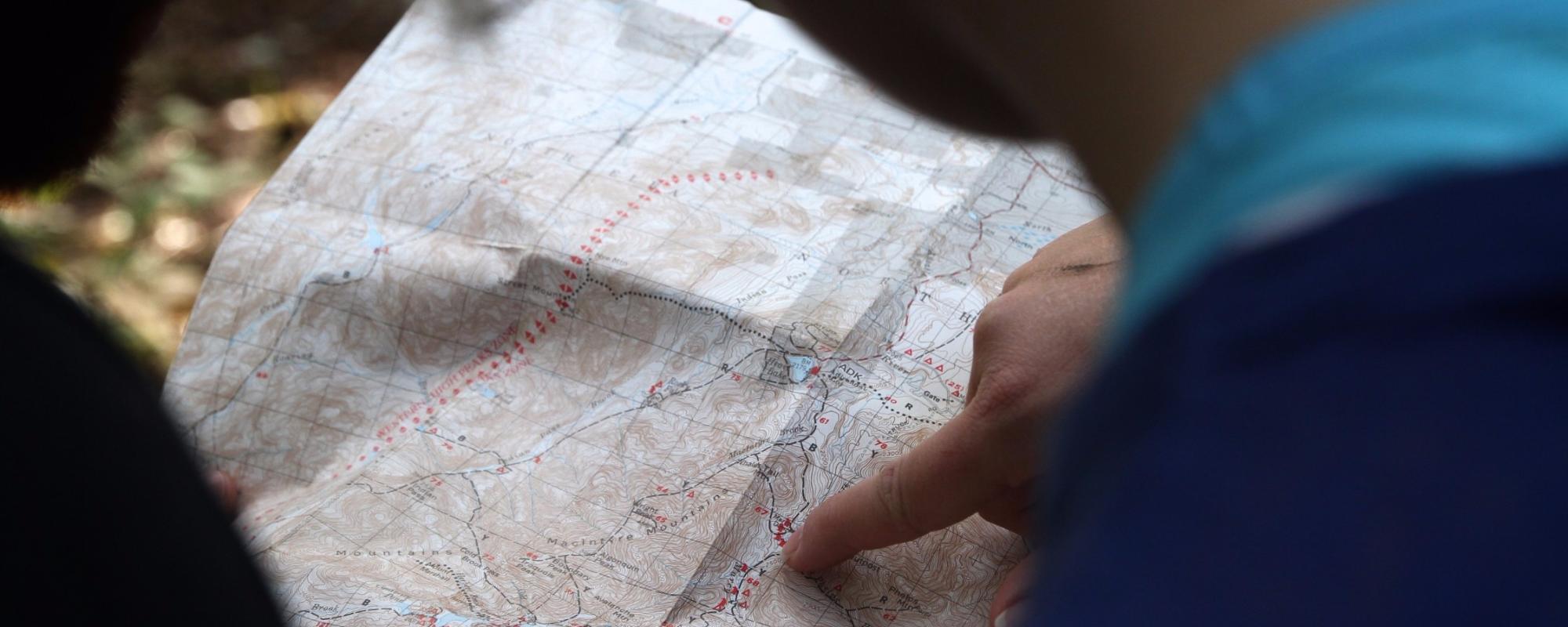
What is a Map?
A map is a representation of a selection of real features on the Earth. It is designed to record the relationships between features and to allow these relationships to be analysed.
A map may be very simple (e.g. a sketch showing the location of plants in your garden) or very complex (e.g. a topographic map of the Australian Alps).
Some key characteristics of maps are:
- maps portray, as accurately as possible, the spatial relationships between features – that is, where a feature is located relative to other features.
- maps are drawn to a scale (although this may vary across the map – especially for ancient maps and simple sketches).
- maps emphasise and omit certain features, depending on their design goals.
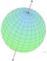
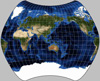
- As a general rule, a map is usually a two dimensional representation (e.g. a ‘flat piece of paper’) of a three dimensional object (e.g. the Earth). However, occasionally the map may be a three dimensional object, such as a globe.
- maps use mathematical formulae to represent the Earth (an irregularly shaped sphere) onto this other surface.
- maps generally have a reference system which allows the location of a feature to be described. For example, latitude and longitude are used as a reference system on maps of the Earth.
Up to late last century, maps were traditionally reproduced as ‘hard copies’ onto paper, parchment, film etc. From the 1980s on, digital maps have emerged for use on the web and in Geographic Information Systems (GIS).
The Five Key Ingredients for Mapping the Earth
There are five important steps to producing a map of the Earth's Surface. These are:
 |
Firstly, a reference system which is used to describe the locations of points on the surface of the Earth.
For maps of large areas of the Earth this would be latitude/longitude and for simpler ‘sketches’ or maps of local areas this would be a grid. Some more complex maps may use both latitude/longitude and a grid reference system. |
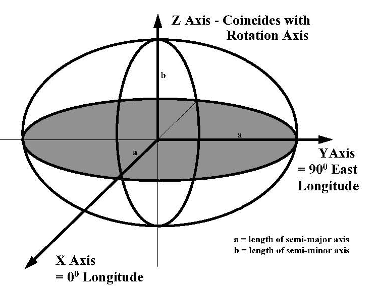 |
Secondly, a Datum which defines the geometry/mathematics of how to transfer this coordinate system onto the surface of the Earth. This is necessary for all maps of large areas of the Earth, but may not be needed for simpler ‘sketches’ or maps of local areas where features are able to be visually located relative to each other. A feature of the modern electronic era is that many map users are now also using Global Positioning Systems (GPS) when they are using maps. An interesting impact of this is that more and more maps are being forced to use the same datum as the GPS system (even ‘sketches’ and maps of local areas maps) so that the reference coordinates on the map agree with the coordinates shown on the GPS receiver. |
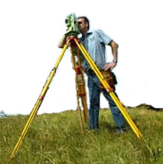 |
Thirdly, a measurement system which is used calculate the coordinates of points on the surface of the Earth. |
 |
Fourthly, a projection which allows the coordinates, which have been calculated using a measuring system, to be displayed on a flat piece of paper. |
 |
Fifthly, the Map Maker’s Art. |
Explaining a Confusing Situation —
Where Lines of Latitude and Longitude Occur on the Surface of the Earth
The Earth’s coordinate system defines the mathematics of latitudes and longitudes; and indeed some of these are even named, such as the Equator, and the Tropics of Capricorn and Cancer. These are all described in geometric terms – i.e. as angles. A few examples are the Equator which is 0° and the Tropic of Capricorn which is 23.5° south of the Equator. These definitions based on angles never change.
Here is the interesting fact — where these occur on the face of the Earth is never the same place. This is because:
- Different datums create different mathematical models which mean that there is a global shift in the locations of lines of both latitude and longitude.
- Continental Drift which results in regional shifts in the locations of continents in relation to lines of both latitude and longitude.
Question: Will zero degrees longitude still pass through Greenwich?
No - the diffence is well defined and is important scientifically - but for most day to day purposes it has no real consequence. Today, it can be confusing as there are four Meridians all passing through the Old Royal Observatory.
The earliest is Flamsteed’s, named after the first Astronomer Royal, which was established in 1675. In 1725, Edmund Halley, the second Astronomer Royal established a second Meridian.
The third was defined by another Astronomer Royal, James Bradley, in the mid-18th century, and is still used as the basis for map-making in Britain today.
The fourth Meridian was established in 1851 by yet another Astronomer Royal, Sir George Airy and is the basis for the monumented zero meridian at Greenwich Observatory.
To further confuse the matter zero degrees longitude as determined by space techniques gives a different result.
The difference in longitude between the two systems, that available in 1936 (Airy) and WGS84, at the Airy Transit is 102.478 metres. Therefore the International Reference Meridian (IRM) is 102.5 metres east of the Airy Transit at Greenwich. As the IRM is tied to the definition of time the real reference meridian to be used for the Millennium is the IRM which, as shown above, is about 100 metres east of the Greenwich Meridian. http://www.thegreenwichmeridian.org/tgm/articles.php?article=0