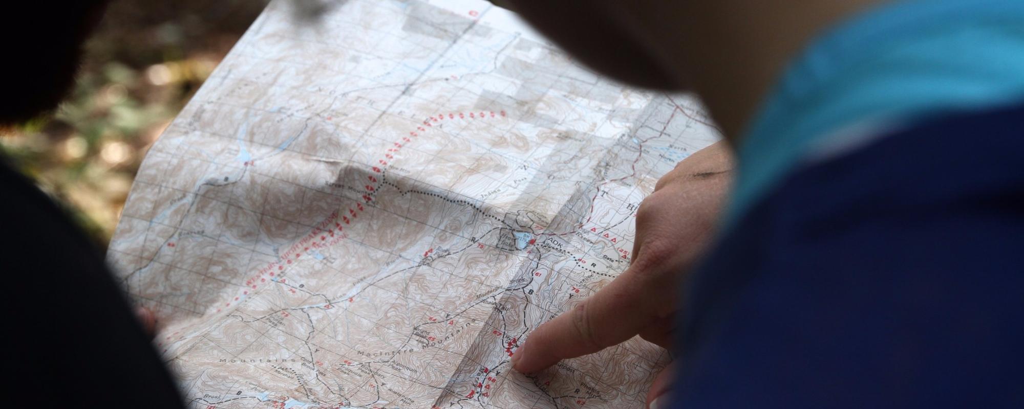
ICSM has designed this site to provide a comprehensive general overview of maps, mapping, cartography and map production. It is not intended to be a definitive reference, but rather to supply a consolidated summary of mapping concepts, principles and practice.
Links are provided to other sites which offer more detailed information.
Contents
 |
Overview to the Fundamentals of MappingA brief outline of the core components to mapping the Earth. |
 |
History of MappingAn outline of the development of map making. It lists some of the significant developments and people involved. |
 |
Types of MapsThere are many different types of maps, which are generally classified according to what they are attempting to show. |
 |
Earth's Coordinate SystemThe first step in converting the information contained in the real-world onto a ‘piece of paper’ was to devise a system where everything could be uniquely located in that world |
 |
Datums – the BasicsA datum is a system which allows the location of latitudes, longitudes and heights to be identified onto the surface of the Earth. As datums is a jargon rich subject it is recommended that you read this section first. |
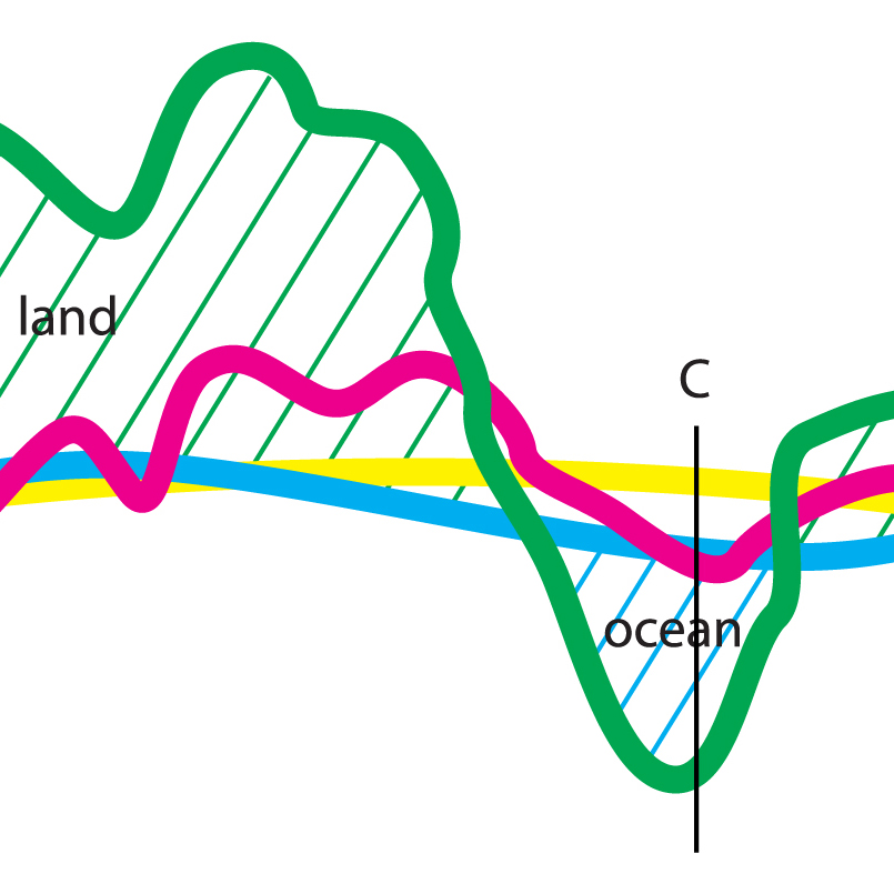 |
Datums Explained in more DetailHaving grasped the basics concerning datums in the previous section, this section provides greater depth to the topics already discussed and introduces more advanced concepts. |
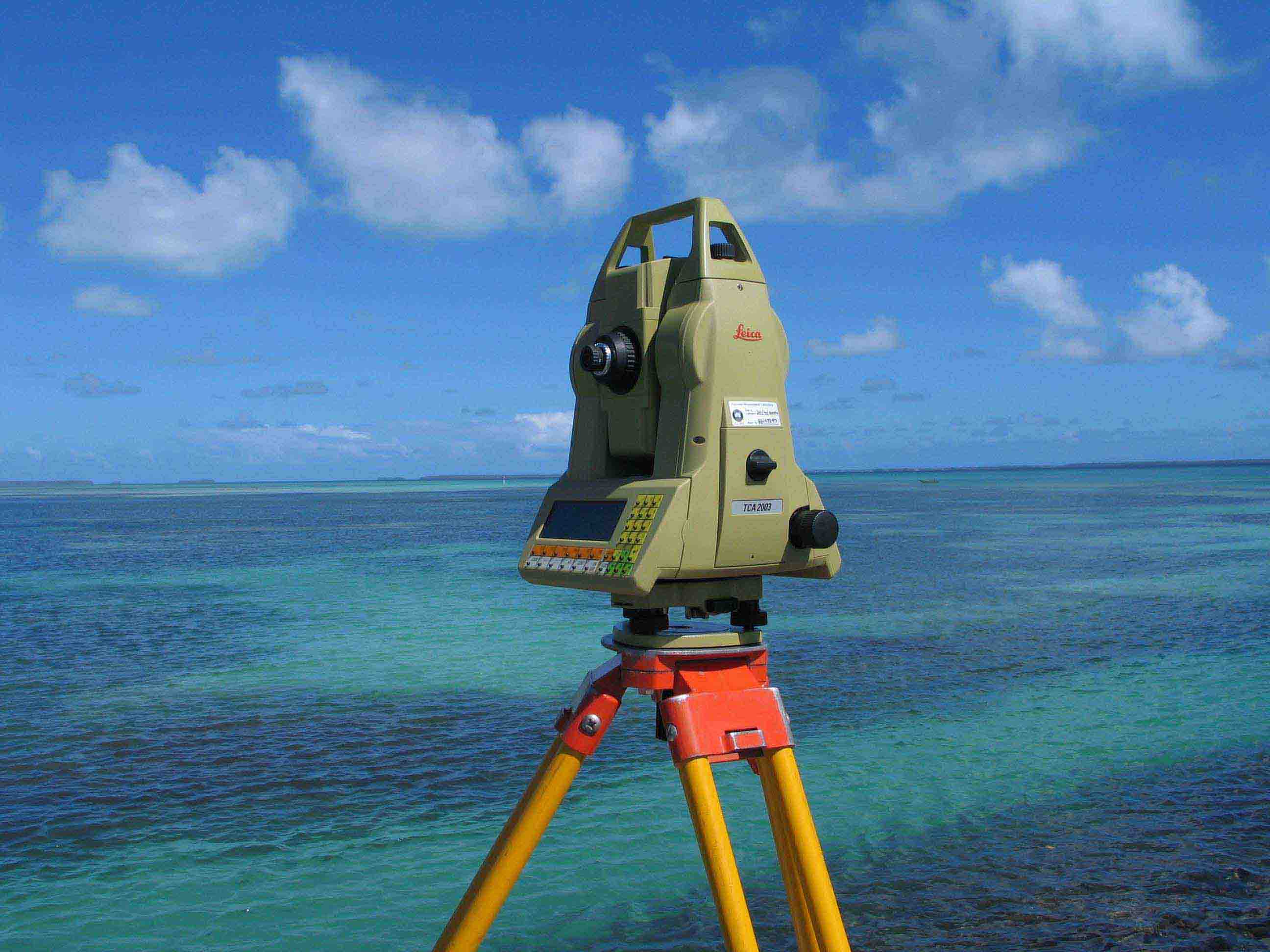 |
Surveying for MappingSurveying and geodetic techniques are used to a calculate the coordinates of points on the surface of the Earth |
 |
About ProjectionsHaving developed a coordinate system and measurement techniques for the Earth (including datums), the next problem map makers faced was how to transfer the information from the surface of a 3-dimensional, irregularly shaped sphere (the Earth) to a 2-dimensional flat 'piece of paper'. |
 |
Commonly Used Map ProjectionsThis section shall outline a number of more commonly used projects. This is a selection of the most commonly used projections, but it is by no means a full list. |
 |
Maps as a Summary of the WorldA map is not the same size as the piece of the earth it is describing. This sounds obvious, but two important cartographic principles flow from this statement. |
 |
Making your MapBefore embarking on the complex task of producing a map, cartographers must first consider two fundamental points: |
 |
Marginalia InformationMaps have two basic components, the map itself (often called the 'face of the map') and information about the map (commonly called 'marginalia'). The term comes from a convention that all additional information about the map was printed/drawn outside the edge of the map, ie in the margins. |
 |
Cartographic ConsiderationsIn this modern world, maps are either printed onto 'paper' or are viewed electronically (eg on computer screen). The principles of cartographic composition are essentially the same for both. |
 |
Map SpecificationsMap specifications provide the rules and guidelines for the issues associated with making a map. Specifications are needed for both printed and electronic maps. |
Mapping for People with Visual ImpairmentsMapping for people who are blind, or have problems seeing, is fundamentally the same as for people with normal vision, but there are a number of significant differences. This is variably called Tactual or Tactile Mapping. |
|
 |
ReferenceThis section contains hyperlinks to mapping and surveying related organisations and institutions. |
